Team Of Researchers Used Google Street View Photos To Predict Neighbourhood Votings
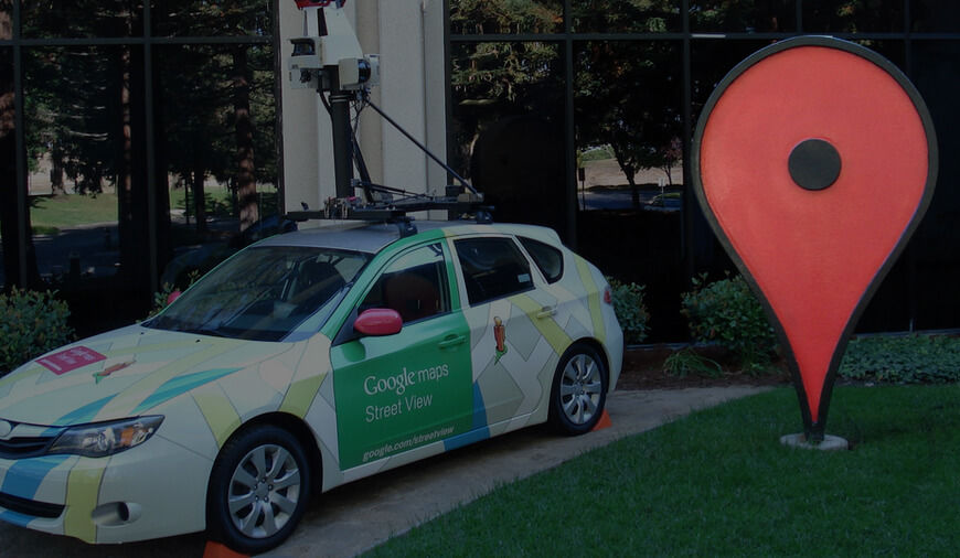
Many of us may still be indulged in the argument over the future of AI technology, but there are others using the technology to achieve impossible. A group of researchers from Stanford claims that they can accurately make the voting predictions of a neighborhood using Google street view images. The New York Times reported that the researchers can predict the precise voting patterns of a neighborhood by processing millions of Google street view images. The team of researchers took the help of AI to process millions of images and to recognize some important informations from them.
In order to complete the task, the team uses a software to analyze about 50 million street images with location data. Under the guidance of Timnit Gebru, Stanford computer vision scientist, the aim of the team was to successfully predict the demographic statistics of a particular neighborhood. During the course of research, the team collected all the information about 22 million cars, 3,000 Zip codes and 39,000 voting districts. With the help street view images from Google view the researchers glean all the information and cross-checked it from other sources, including Census Bureau’s American Community Survey and presidential election voting records.
Once getting all the information researchers found that they were able to accurately predict the race, education, income and voting patterns of any particular location. Finding the selective images and collecting information among millions is a tedious task. To make this happen and trained the AI system, the researchers took help from professionals. The team hired hundreds of people from the places such as Mechanical Turk and car experts to identify the car and model accurately. Within 2 weeks the software able to recognize the cars from 50 million images without any complication which could take 15 years for a human to do the same.
“We show that socioeconomic attributes such as income, race, education, and voting patterns can be inferred from cars detected in Google Street View images using deep learning. Our model works by discovering associations between cars and people. For example, if the number of sedans in a city is higher than the number of pickup trucks, that city is likely to vote for a Democrat in the next presidential election (88% chance); if not, then the city is likely to vote for a Republican (82% chance).” team wrote for Proceedings of the National Academy of Sciences, in a published article.
The team also noted that the technology could also assist the American Community Survey, which spends millions of dollars and lots human efforts on the survey. This could also eliminate the possibility of small areas with the lesser population getting neglected as the work is so intensive.


No comments